
The Socratic City, Part III
The Territory is the Map

In one of the great pieces of 20th century literature, the Argentinian writer Jorge-Luis Borges wrote a story about a culture that prized map-making above all else
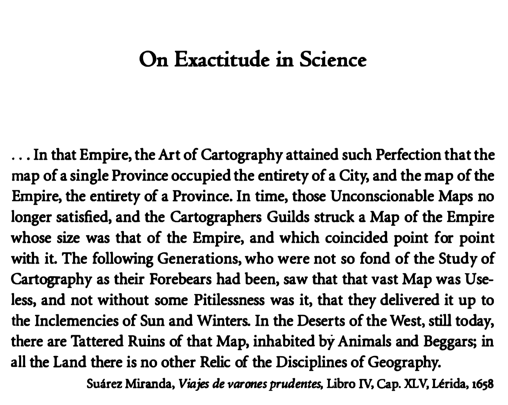
Unfortunately, that cartographic tradition fell into misuse and those massive maps wasted away into ruin. If only our successors were as determined as we are….
What a silly thought! Who would ever think of making maps as complex as their territories?
Like here’s a good map, one that makes sense, easy to understand and does its job perfectly well. You want to know how to go from Vajrahalli to Whitefield: take the green line to Majestic and switch to the purple line to Whitefield. Simple.

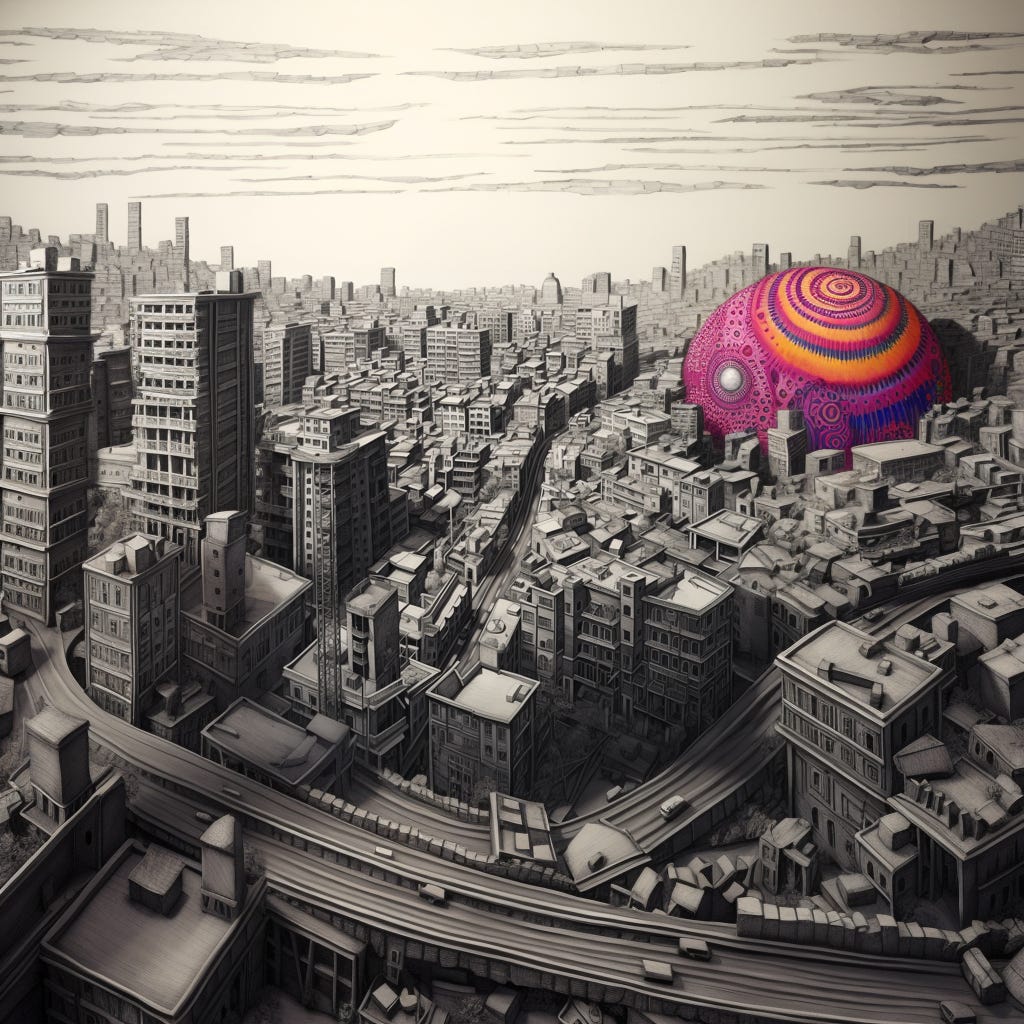
Why would you want to replace that map with something like:

OK, that’s unnecessarily complex, but one reason to embrace complexity is because we are entering a renewed cartographic age, with new technologies and means of data collection helping us map the city in exciting new ways. If I were a Bangalore urban planner, here's why I'd push for creating detailed models of the city:
Seeing is Believing: With 3D, everyone can actually see what's happening where. Think of it as gamified map making.
Smart Choices: 3D makes everything clearer. Where should that new mall go? Where shouldn't it? 3D models help answer these questions.
Traffic Blues: Bangalore traffic is legendary! With 3D models, we can hopefully untangle some of those jams.
Everyone Gets a Say: With rich 3D models (and simulations that run on them), everyone can see what the city will look like if you add a colony here (drawing water, electricity etc) and a park there. Once again, city planning meets video gaming.
VR and AR Madness: Imagine strapping on a VR headset and walking around a future Bangalore…
That’s a geeky list and only a step short of full blown smart city megalomania. But the same models could also become instruments of urban democracy. Imagine if every community had the capacity to imagine future/alternate versions of their localities.
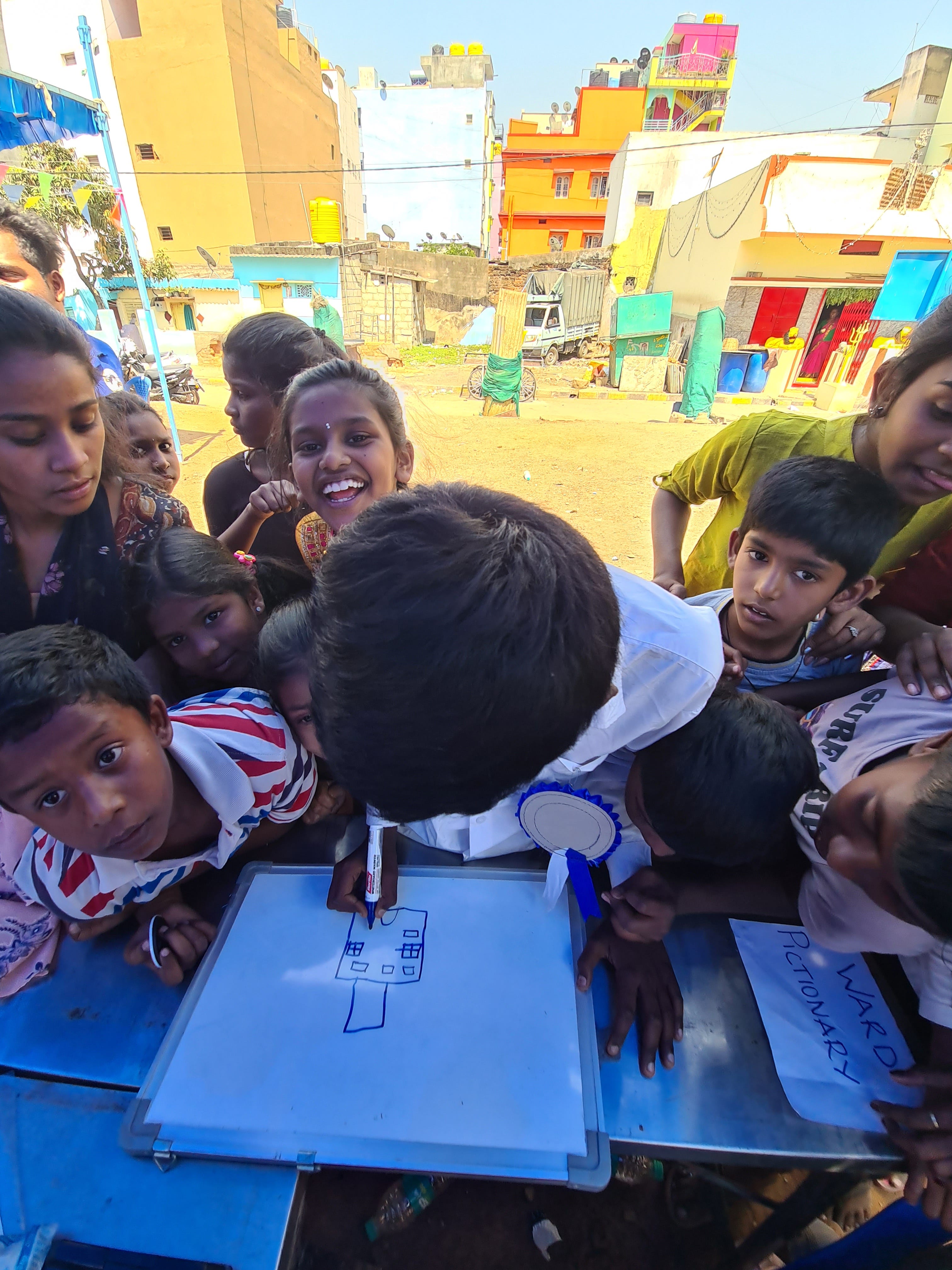
We have tried such exercises in person (such as the Shaktivel convening above); now imagine if community futures were richly detailed with predictive capacities. What might that do for participatory planning?
The quick answer: not much. The obstacle to citizen participation isn’t lack of technology, but lack of power.
Here's the thing: technology can be as whimsical, advanced, or cutting-edge as it wants to be, but it's useless if it doesn't serve the people it's meant for. Before we fall into despair, let’s note some genuine ways these technologies can amplify the voice of citizens and make the whole urban planning process more democratic:
Accessibility: 3D maps and other digital platforms can be made accessible to everyone. They can provide an easy way for citizens to understand what's happening in their city without sifting through complicated documents or jargon. Knowledge may not lead to as much power as you want, but it’s better than nothing.
Transparency: With real-time 3D updates, you can see what changes are proposed and track them as they progress. No more hidden agendas or surprises. Everything's out in the open.
Urban Storytelling: Detailed maps can serve as digital storytellers, helping to capture the rich history of neighborhoods, streets, and landmarks. By inputting your own stories or memories, you can be part of a shared community narrative.
Not enough, but not nothing. What’s truly daunting and exciting is that technology is opening up new opportunities and spaces for solidarity. Labour unions didn’t exist before the industrial revolution, but they are struggling in an economy dominated by gig workers. You could say the same thing about political parties, despite the seeming importance they have on our daily lives.
What new forms of social action will coevolve with these new technologies?
We can’t predict the future, but it feels likely that design will play a big role in enabling these new social formations. In addressing these questions, Socratus takes the view that only wicked minds solve wicked problems, that in order to bring about systemic transformation, we need to frame the important questions around the agents - the person on the street, the political class, bureaucrats, businessmen etc., - who live and work within urban systems. Instead of designing solutions outside the system and then hoping that advocacy will help sell those solutions to those who make decisions, we believe that the emerging transformations must be co-designed with the agents in the room. Further, these agents must be citizens first, and other identities second.
Every space of collective wisdom will create a map of its needs, its desires, its imaginations. The web of maps will approach the complexity of the city itself. Only design can help us navigate the complexity of the collective map with ease.